3DScan is recognized as one of the leading experts in Italy in the field of building analysis and survey, providing a complete solution for all building measurement and planning needs.
The surveys can be supplied in different 2D and 3D formats and, moreover, it is possible to access data scans from laser scanners through panoramic point cloud viewers to provide immediate remote access and dimensional interrogation.
We can also deliver Measured Building Survey data directly to all interested parties in a format compatible with BIM (Scan to BIM) and offer a complete BIM consultancy to help define the most appropriate and cost-effective BIM solutions for the entire cycle of project life.
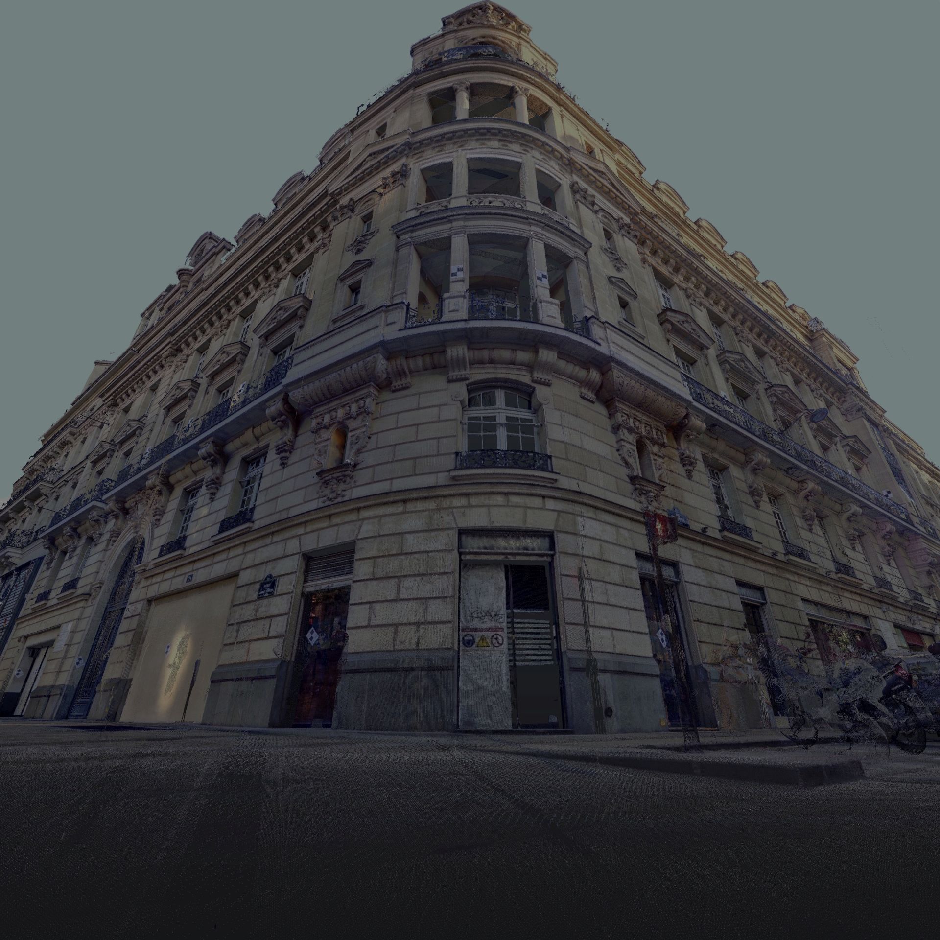
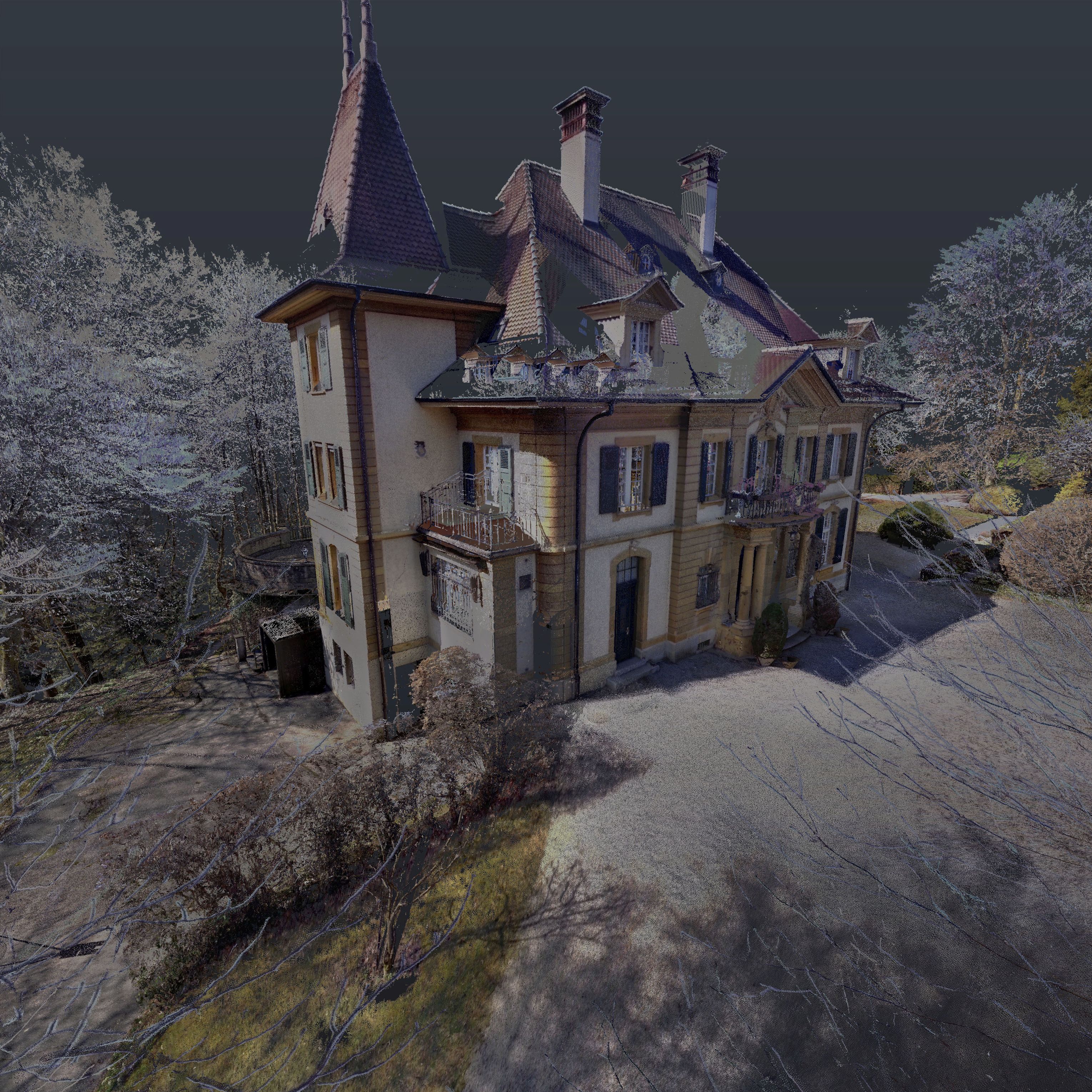
REAL ESTATE SURVEY
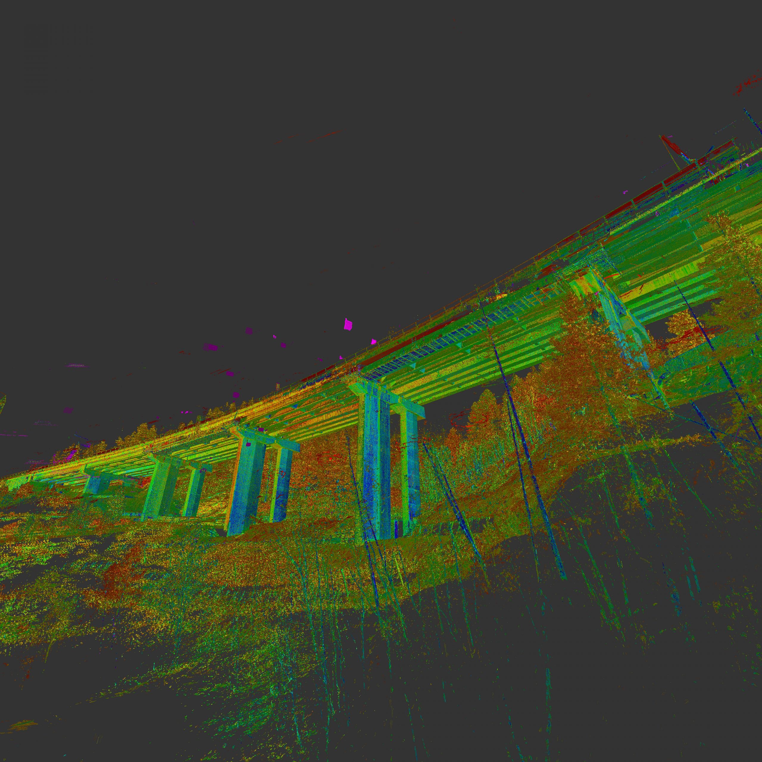
INFRASTRUCTURE SURVEY
When it is necessary for the infrastructure to remain unchanged, allowing the natural performance of its function without creating inconvenience, we know how to give you a valid, precise and rapid solution.
We are proud to have been involved in various collaborations throughout Italy and abroad concerning maintenance and restructuring projects of different infrastructures with a particular ease and competence in the realization of viaduct surveys.
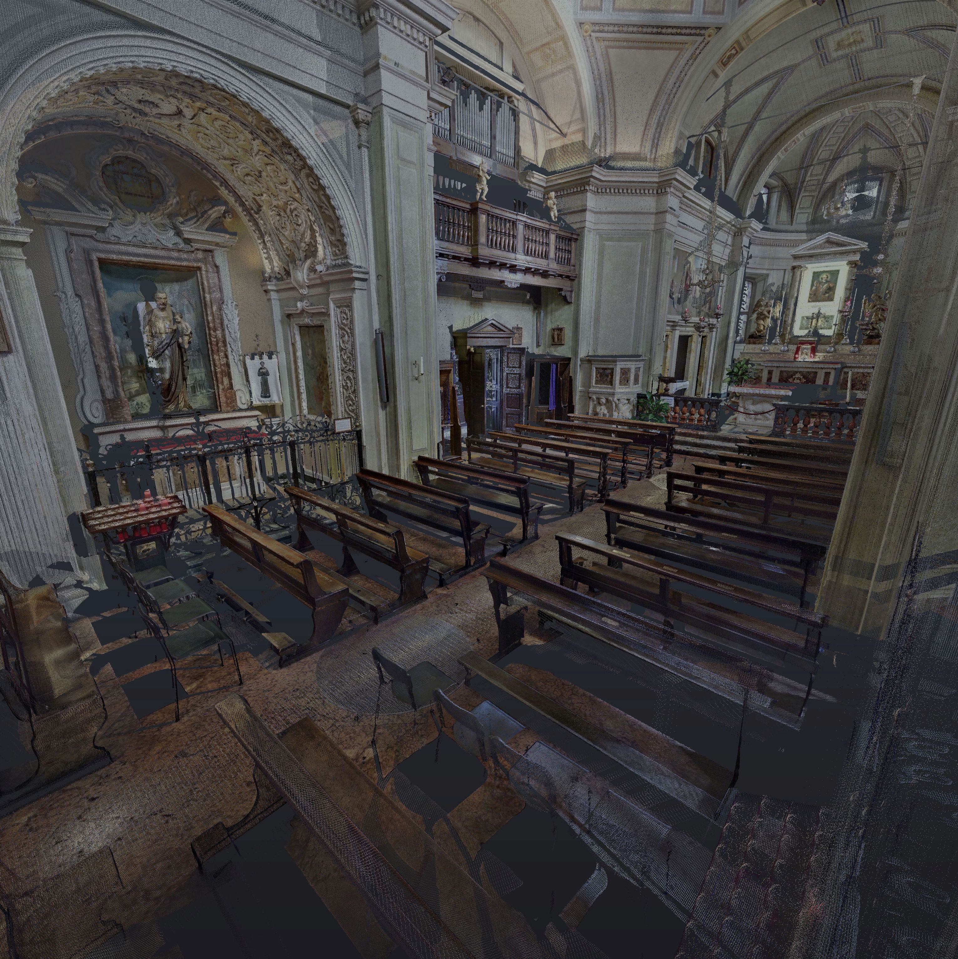
Whether for restoration, scientific analysis, securing of the work or virtual presentations of historical sites, the laser scanner survey guarantees the possibility to document in a complete and detailed way historical buildings and archaeological sites.
The laser scanner technology represents the most precise methodology to date for the cataloging of archaeological heritage, making it possible to plan in a totally innovative way the process of recording, analyzing and archiving data and proposing three-dimensional geo-referenced digital surveys that can be linked to specific databases in order to create easily interrogated GIS.