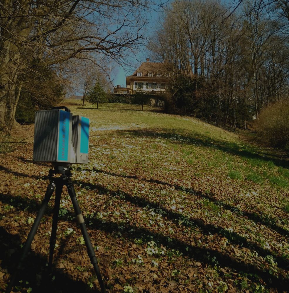
WHO IS THOSE WHO SAY THAT 200 CLOUDS OF POINTS ARE SO MANY TO MANAGE … GOOD, WE HAVE ARRIVED AT 3600 FOR A SINGLE PROJECT.
3D Scan is a team of professionals in territorial survey and 3D laser scanning of great experience.
We offer services throughout Europe and the USA and all our projects are carried out by internal surveyors and CAD technicians.
We have a team of BIM specialists able to return high-quality BIM models built on pointclouds for maximum accuracy

3Dscan was founded in 2012 with the aim of bringing together the skills of a group of professionals active in the field of surveying, within a single company focused on providing highly specialized services to increasingly demanding customers.
We specialize in surveying and returning graphics in areas of interest: architecture, engineering, plant engineering, archeology and restoration, but we like no limits and we are always looking for new unexplored sectors to make our contribution and share our skills and competences .
For us 3DScan establish a relationship of trust with the customer remains one of the primary objectives, so we decided to differentiate ourselves. In fact we are one of the very few companies that are concerned with following the customer throughout the “productive” process; our activity consists of all three phases necessary to obtain a complete, precise and accurate work:
