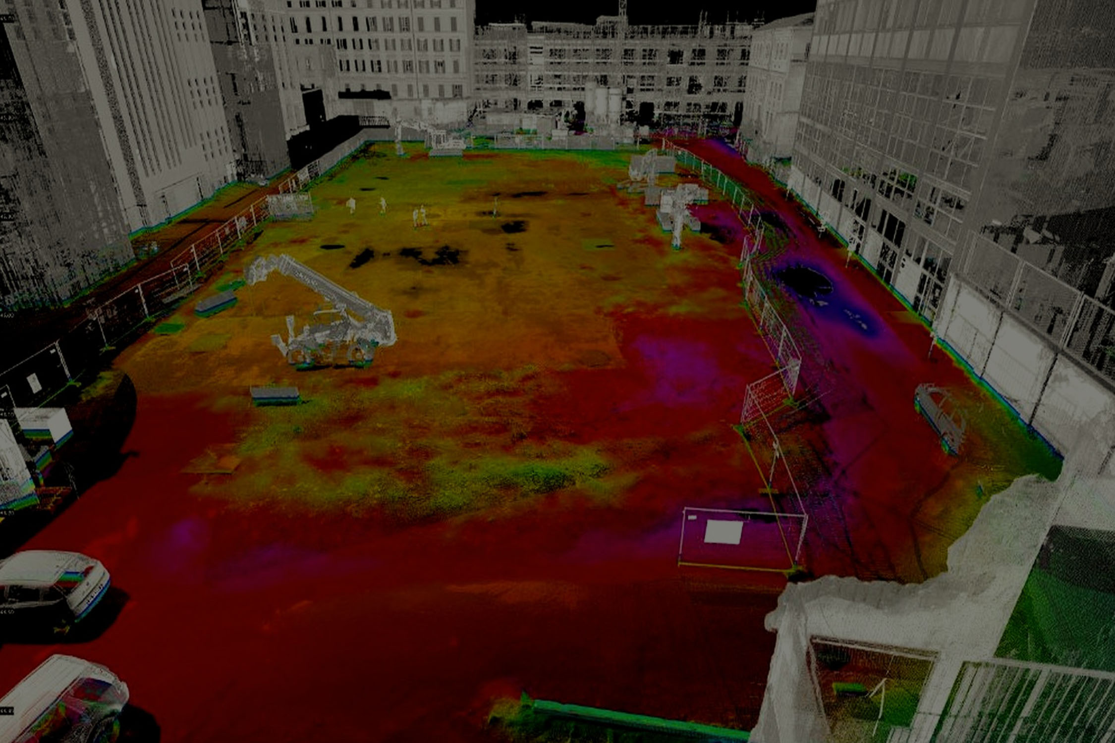
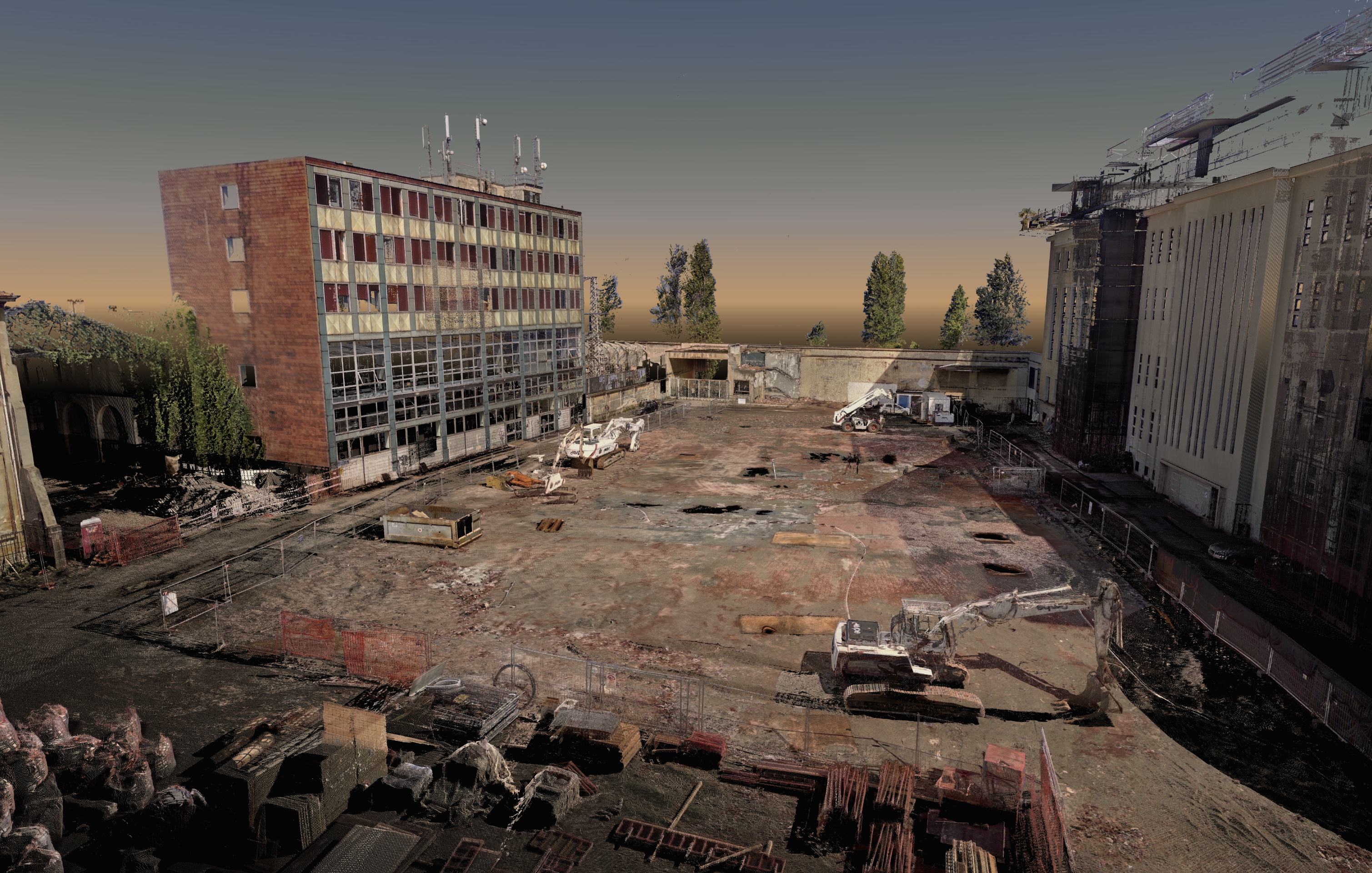
The solutions 3DScan offers for GPRS underground network mapping provide a complete understanding of the infrastructure above and below ground.
The mapping service (gyroscopic) allows to accurately track and map underground pipelines, sewers, ducts and tunnels and the investigations carried out with extreme precision and accuracy allow information to be given on the location of gas, electricity, water, drainage systems, all to promote a correct design and construction process.
APPLICATIONS
Study of the evolutionary trend of instability phenomena
Structural monitoring for the modification of subsidence on buildings and underground works
Planimetric and altimetric surveys
Precision leveling on buildings and infrastructures
Technical assistance in progress
Topography applied to the design of engineering works and to the study of phenomena of instability