As Built
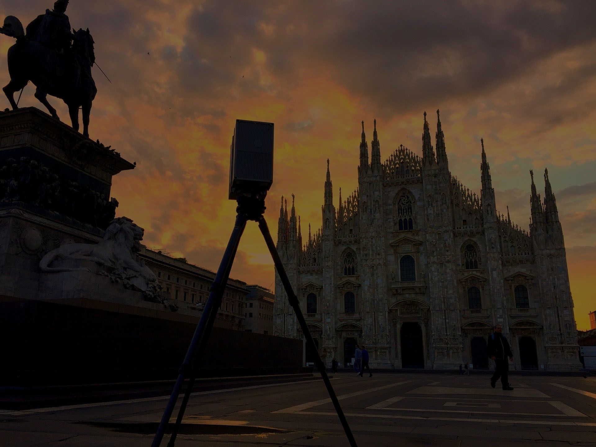
Today, the laser scanner survey is the most precise method for surveying an architecture, especially if it is particularly complex, thanks to the high acquisition speed and the considerable amount of information gathered.
From the point cloud they are easily removable, thanks to dedicated software, 2D drawings such as plans, sections and elevations, being able to evaluate in detail all the fundamental elements for renovations and / or new constructions.
In the architectural field, the data produced directly in a 2D or 3D CAD environment can be used for the purposes of design, renovation, restoration and preservation of assets.
We work alongside architects and designers in gathering the necessary and sufficient information to allow the reconstruction of an architectural work using the most modern technologies. We create 3D BIM models starting from point clouds, maintaining the precision required by the customer.
Our survey teams use the most up-to-date survey instruments, laser scanners, total robotic stations and GPS systems, which make it possible to carry out the survey with a guarantee of accuracy and precision.
In the architectural field, the data produced directly in a 2D or 3D CAD environment can be used for the purposes of design, renovation, restoration and preservation of assets.
We provide bi / three dimensional models of the works through a cloud of points that is treated to allow you to easily extract: plans, sections, elevations (2D and 3D), construction details, textured meshes and orthophotos.
We are able to study in detail architectural critical situations (degradation, neglect, cracks, etc.), thanks to the precision of the laser survey, also allowing constant monitoring over time.