5 ways to increase the survey accuracy
October, 15, 2019
Topic: Laser Scanner
( 8 min read )
Perform a geometric survey to measure and represent land or a building, it is a complex process that requires professionalism and attention from the detector. From its choices and the way how the survey will be made depend the overall accuracy, and ultimately the quality of work.
There are some basic rules that a surveyor should follow and know, that allow him to minimize the errors and inaccuracies, and get a better quality result.
Here are 5 ways to increase the accuracy of a land or architectural survey:
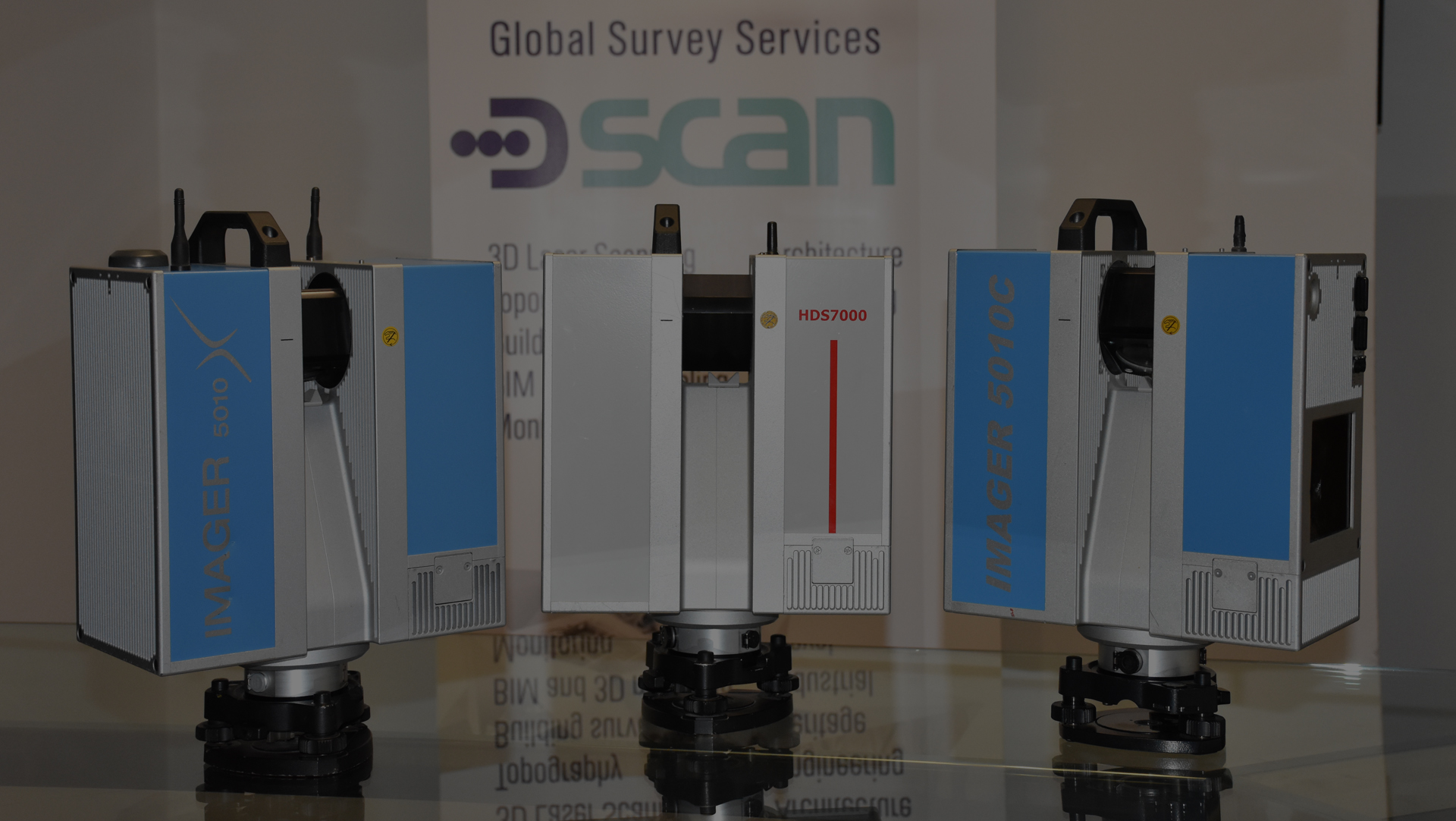
1. Inspect and calibrate equipment
Total stations and 3D laserscanners are very complex electromechanical instruments. They need to be kept in perfect working order, planning a schedule of maintenance at regular intervals.
For most popular tools such as total stations exist laboratories that provide the service and certify the successful maintenance, the time required for the verification of the instrument may vary from 1 to 3/4 days.
3D laserscanners are a bit more complex. Usually are the same manufacturers to provide the calibration service, which provides that the instrument is verified in a special room called ‘calibration chamber’. The test requires 5/10 days to be made and the instrument must be sent to the manufacturer.
2. Plan carefully survey operations
Before starting the survey, it is always good to analyze the available documentation (plans, sections and everything else provided by the customer) and perform an inspection to plan activities to be carried out.
Careful planning will optimize the execution time of the survey and at the same time minimize the risk of errors.
3. Set the equipment to allow more accurate measurements
The equipment used for the acquisition of measures normally can be set for different accuracies. A further precisions correspond longer acquisition time.
It must therefore be clear about the goal to be achieved in terms of overall accuracy of the survey, and use a capture mode that allows to minimize the time to reach such accuracy.
4. Use techniques that minimize operational errors
In topography and laserscanning there are operational techniques that can minimize some types of systematic and accidental errors that a surveyor inevitably commit during measurement.
In topography, the implementation of closed and compensated xxxxxxxx or the acquisition and the average of conjugates angles, allow minimizing and in some cases cancel this type of errors.
In laserscanning the choice of scanning positions and the use of topographic control points allows to increase the overall accuracy of the survey.
5. Avoid as much as possible human error
All the tools used to acquire measurements have the ability to store values automatically, without the need for these to be logged by the operator. Even the simplest distance lasers have the ability to be connected to a PC or a tablet via bluetooth, and store the measured distances automatically.
There are also robotic total stations that are able to collimate the reflective prisms in automatic way and with a precision greater than that of a human operator.
Conclusions
Those reported are not all of the rules that the surveyor must follow to get a good result, but are a good starting point.
The professional need to understand and investigate the operating technique in order to be able to get the best result depending on the time available and the customer’s request.