FROM LASER SCANNER SURVEY TO MODELING: The 4 phases that make a complete work
February, 12, 2020
Topic: Laser Scanner, BIM
(6 min read)
Carrying out a laser scanner survey is not as simple an operation as it might seem. Of course, compared to a few years ago, technology has helped this activity a lot, automating several processes and speeding up the timing, but it still remains a job that requires a lot of attention, skill and organization.
Starting from a laser scanner survey of any object (a property, an infrastructure, a work of art, etc.) up to its modeling, we can ideally identify 4 main phases in which a work, to be defined complete, must be divided :
Phase 1 – Preliminary
In a previous article we have already seen how fundamental this phase is for the success of a laser scanner survey. Without a strategic and organizational phase, the survey is destined to be inaccurate, long and sometimes incorrect. Furthermore, the timing in this sector is very important; knowing how to control them in the best way is fundamental.
To do this, therefore, it is necessary that in this preliminary phase, the most suitable instrument is chosen for the needs and type of survey that will be carried out.
Afterwards it will be very important to correctly assemble the instrument, level it and set it with the right scan parameters.
Finally, but not to be underestimated, it will be necessary to decide which and how many points will be chosen to carry out the scans, in addition to identifying the strategic positioning points of the targets.
Phase 2 – Acquisition
Once the preliminary phase is over, the data acquisition phase therefore begins.
It often happens, depending on the type of object to be scanned, that to make the laser scanner survey more precise and accurate, a topographic survey is also carried out to support the operation.
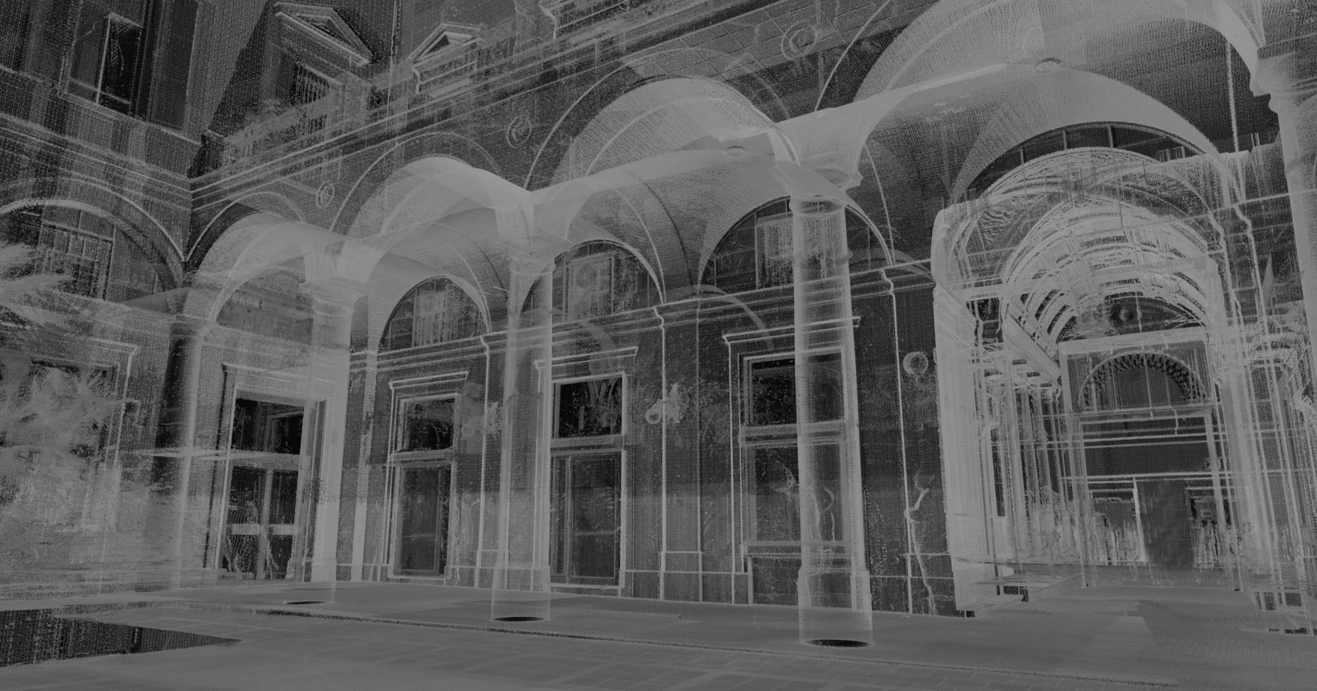
The point cloud generated by a laser scanner survey is obtained by combining measurements made by multiple laser stations. This is necessary, since with a single station it is impossible to detect all points of a building.
During this phase it is essential to be reactive and concentrated, especially because the unexpected is around the corner. Knowing how to predict and resolve them promptly means not wasting further time and completing the operation in the best way. By reading this article you will be able to understand better: What are the most common unexpected events during a 3D laser scanner survey and how to solve them?
Phase 3 – Processing and Return
Once completed, the data from the acquisition phase are ready to be processed in the next processing and return phase.
Even if it is a single phase, in reality the processing and the return are two different moments, one preparatory to the other. This is a phase that is often underestimated, especially in choosing the software to be used.
The first thing to do as soon as the point cloud is loaded into the software, after filtering out superfluous points, will be the alignment of the same. The coordinates of the points constituting each cloud refer to the reference system of the specific laser station with which they were measured.
Alignment is a fundamental operation of this phase; it is almost always performed automatically, except when problems may arise due to some disturbance variants during the scan. In that case, also thanks to the strategic and intelligent positioning of the targets, we intervene manually to facilitate the procedure.
We then move on to texturing the cloud, if the laser scanner survey has been integrated by a photogrammetric survey. In this way you can give a color to each point of the cloud.
Finally, before moving on to decimation, or the last step of processing and restitution in which the point cloud is regenerated by precisely decimating the number of points in order to make it “lighter”, it is good to carry out a cleaning of the latter, manually eliminating disturbing elements that are not required for the later stages of the process in the studio.
Phase 4 – Modeling
After the cloud has been aligned, textured, cleaned and decimated, it is finally ready for the final stage: modeling.
Starting from the three-dimensional point cloud, geometric models are generated in 2D, CAD or 3D BIM, rich in all the information required by the customer both from a geometric point of view and from a management point of view.
It should be noted that however this phase is not always a must. It sometimes happens that, depending on the agreements made with the customer, this last modeling step that closes the circle is not required, therefore only the point cloud is delivered.
Conclusion
4 phases chained to each other are therefore the key to performing a complete job completed at the end. It is not easy, because for each phase you have to be prepared, precise and capable.
Few are in fact the reality of the sector that deals with carrying out not only the important part but also the subsequent stages of elaboration and modeling. 3DScan is one of these, we immediately wanted to differentiate ourselves and the results were not long in coming!