The ability to detect objects from above becomes a necessity if you want to have a complete collection of information on what you are examining, especially for those situations where it becomes difficult to get information determined
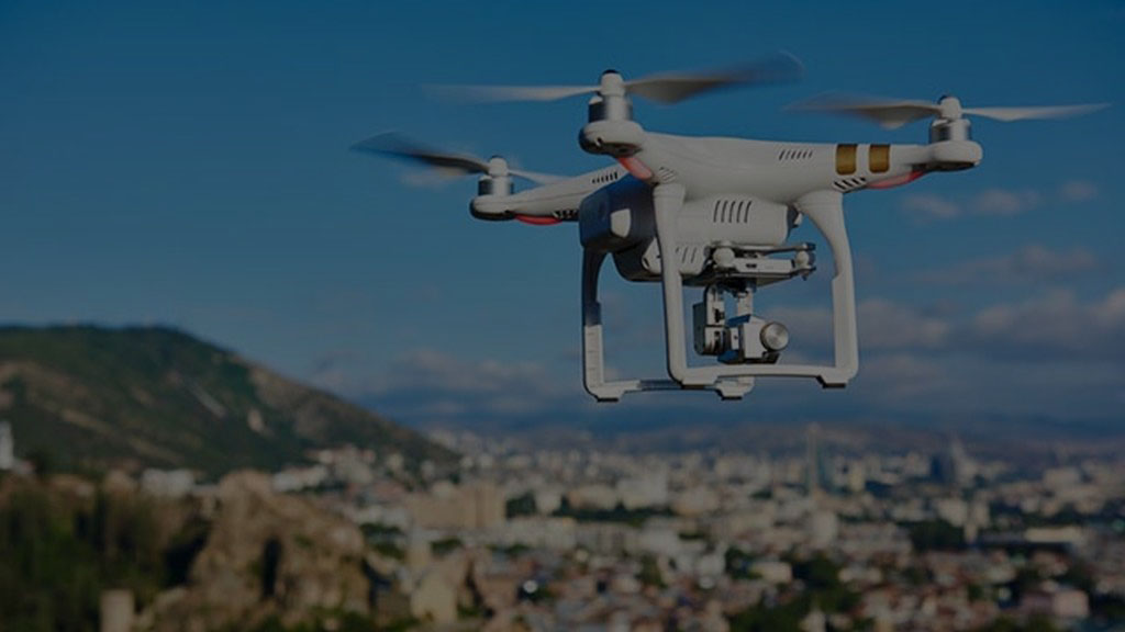
Reaching even the most inaccessible, dangerous or large sites has now become possible thanks to the latest aircraft technology which is able to provide a wide range of inspection and survey services.
Thanks to the skills and experience of our pilots and topographers we are able to safely acquire high-resolution images and level data with a high accuracy, all respecting the planning times.
Using state-of-the-art drones and high-resolution cameras, geospatial data is obtained for surveys of both buildings and useful infrastructures for multiple applications.