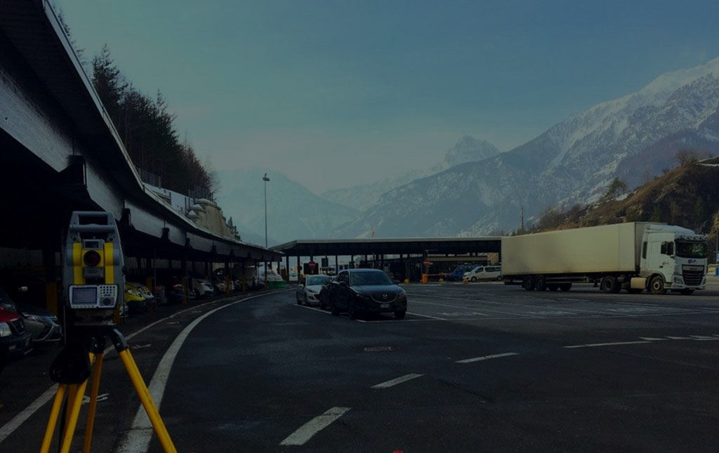
Our survey teams use the most up-to-date survey instruments, laser scanners, total robotic stations and GPS systems, which make it possible to carry out the survey with a guarantee of accuracy and precision.
Results and representations
After the processing of the survey data, performed through the use of specialized software, we represent the measured elements through the preparation of Autocad 2D drawings or by building 3D CAD models.
We are able to realize, on customer request, also 3D BIM models (Building Information Model) with Autodesk Revit.
In the territorial area the survey by laser scanning, thanks to the direct interface with GPS, allows a fast georeferencing of the 3D survey. It allows to detect in a very fast time a remarkable quantity of data with very high detail that can be used for the calculation of sections, creation of contour lines and volumes.